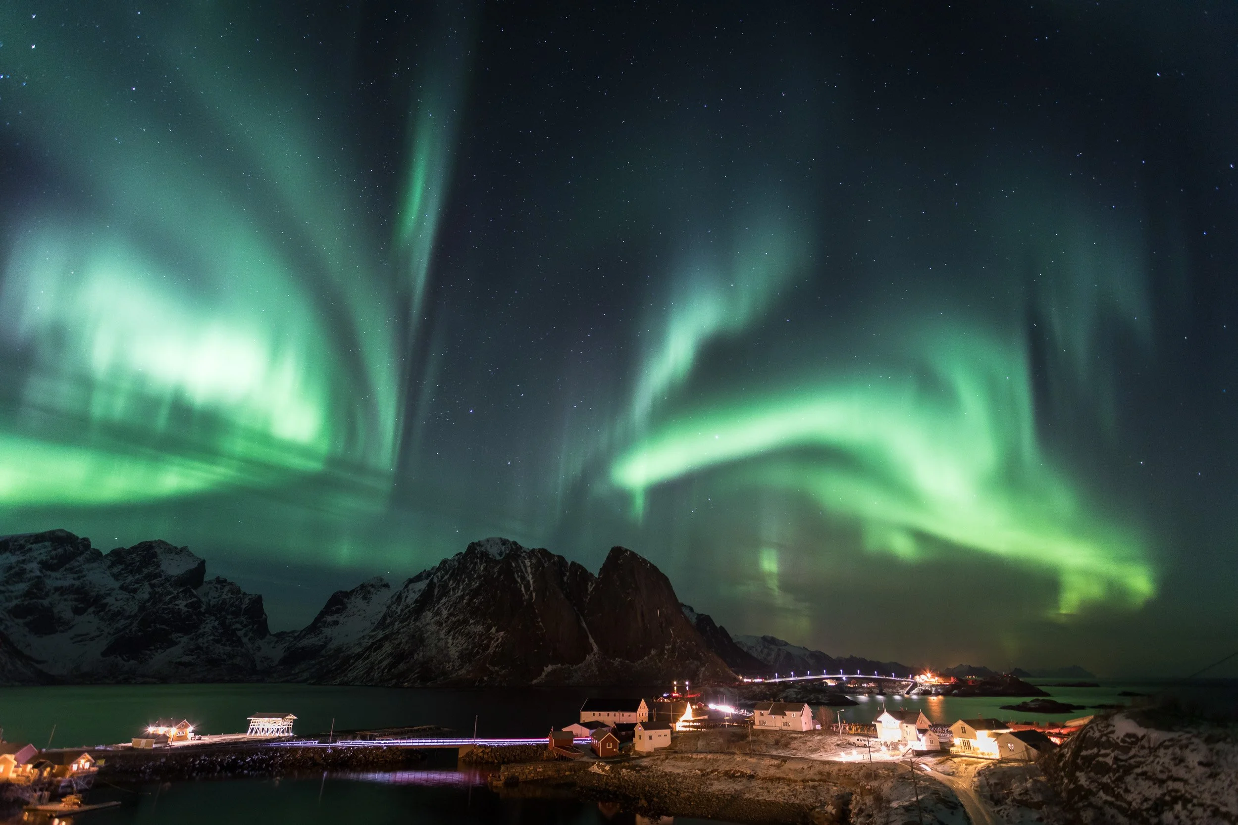
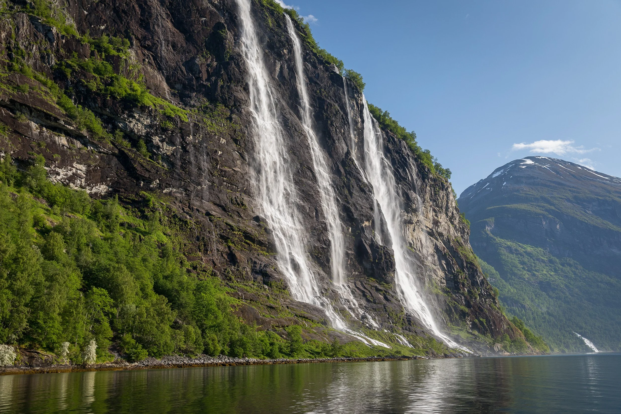
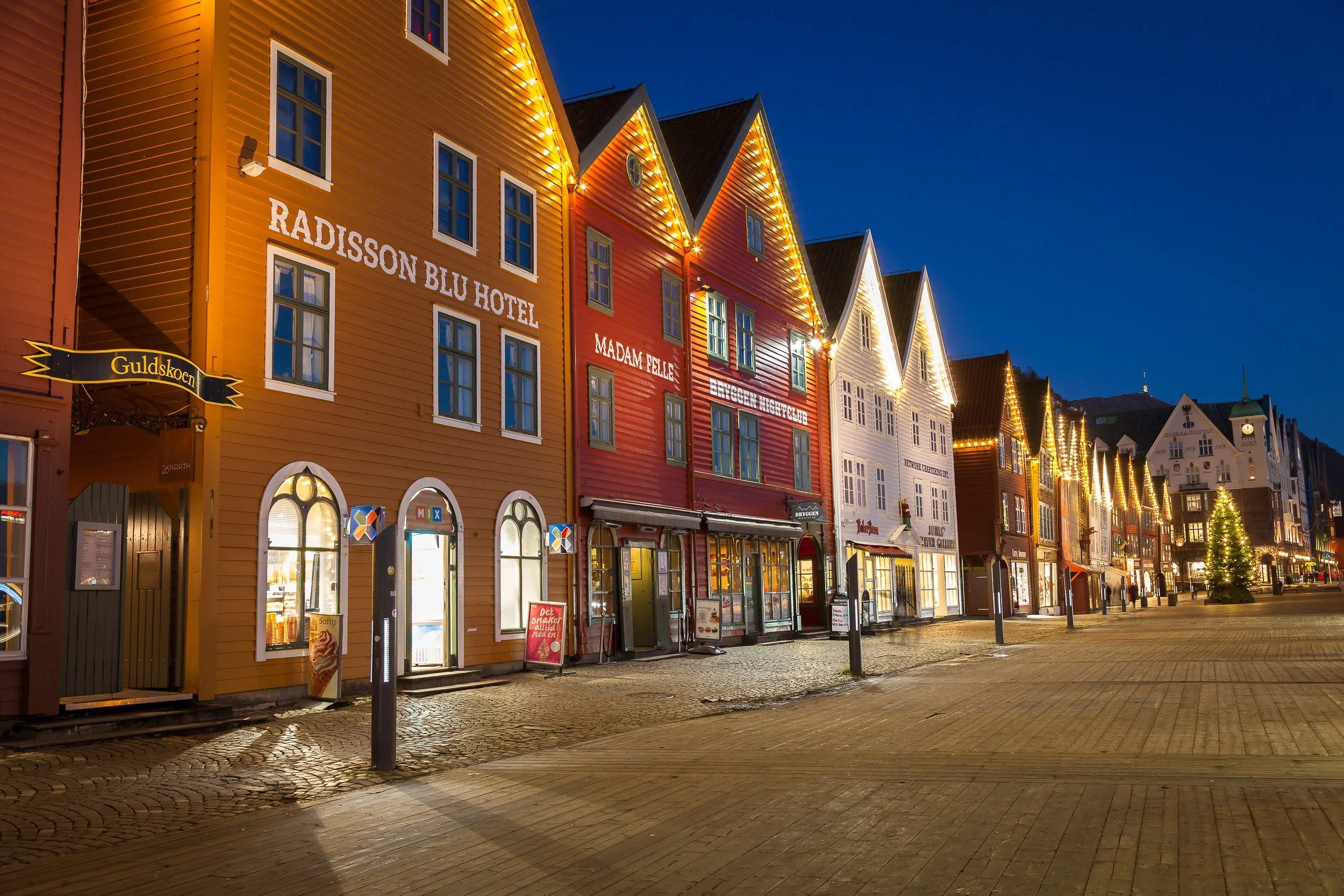
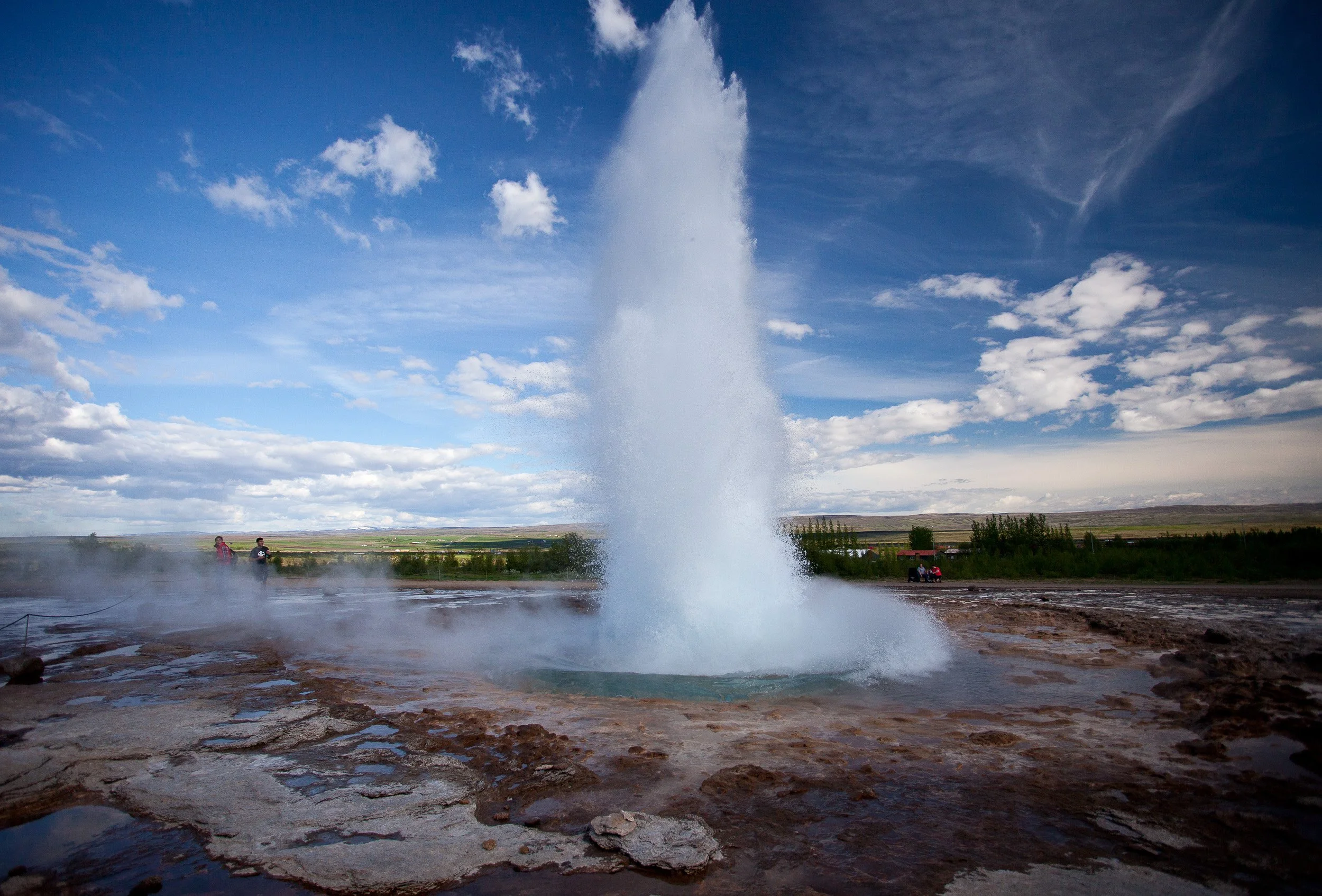
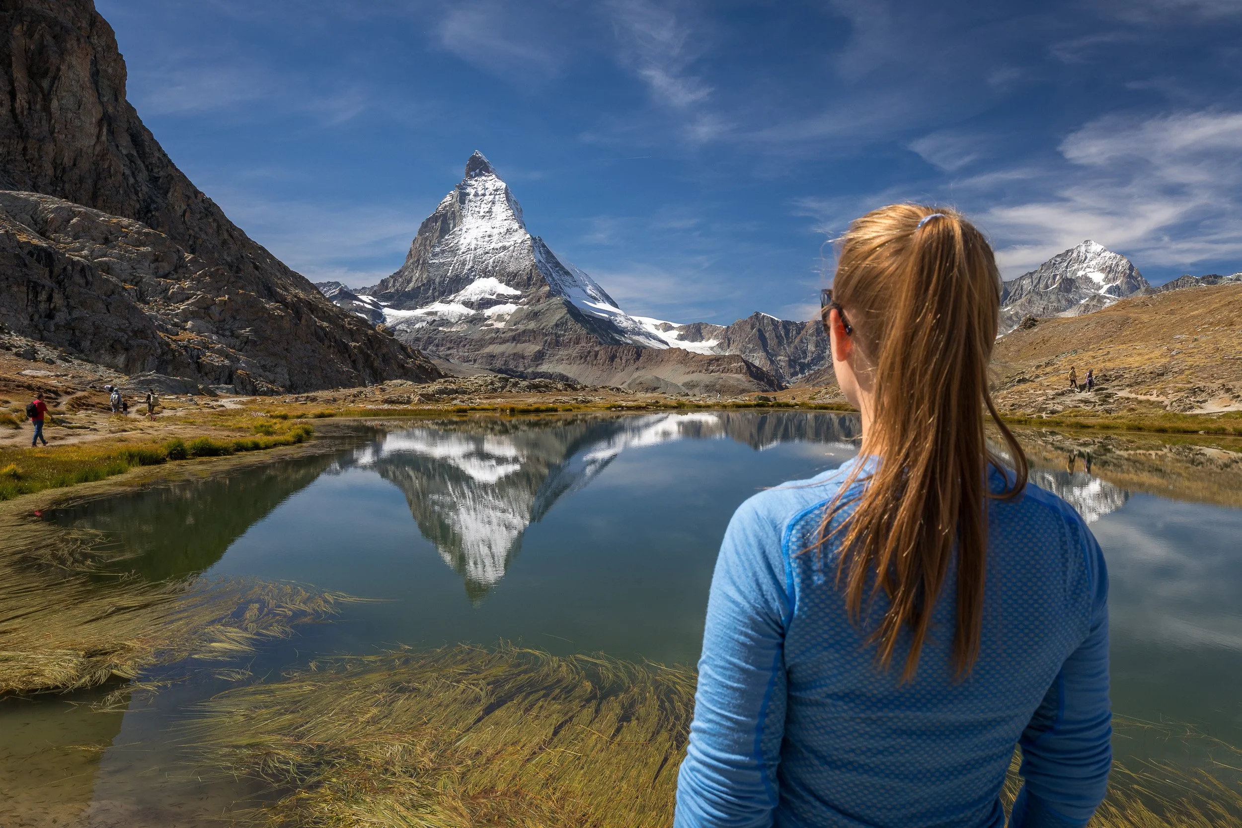
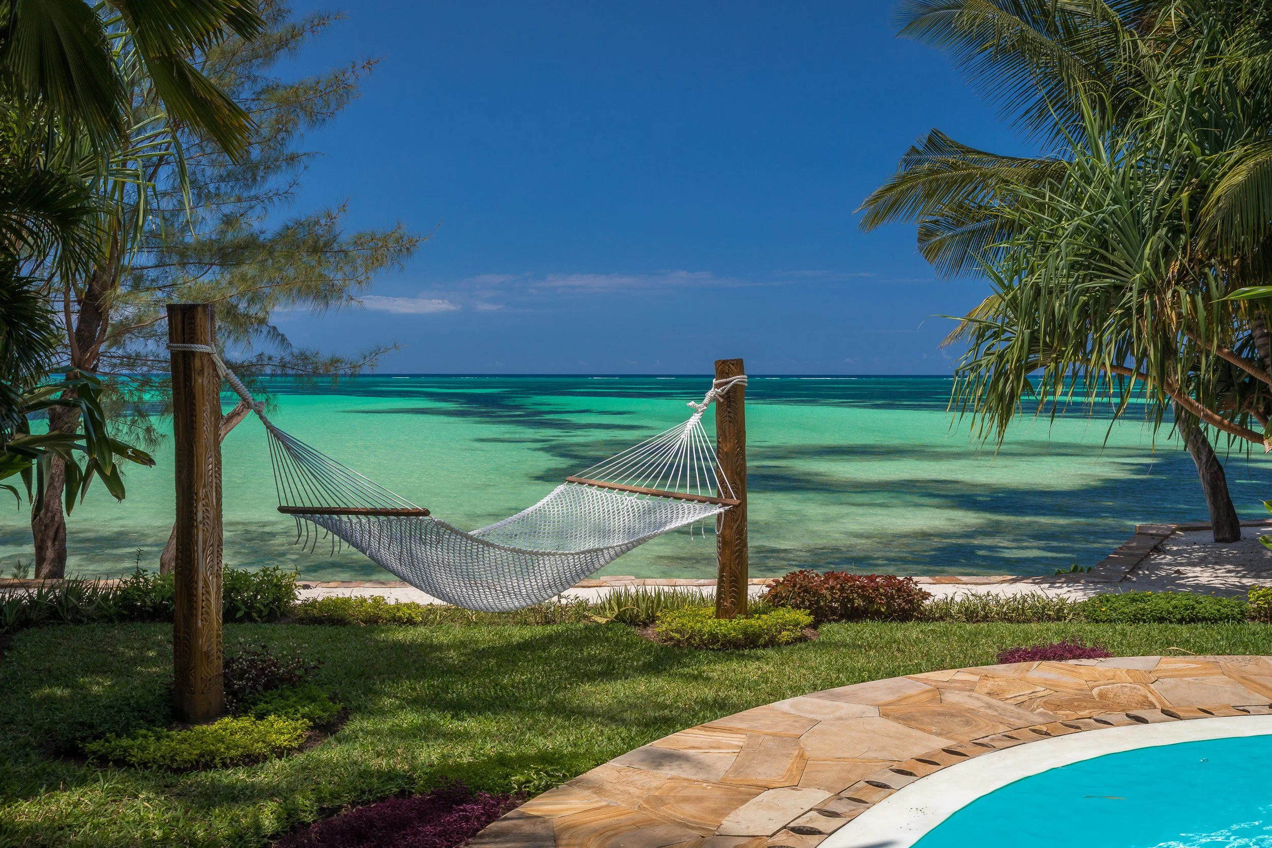
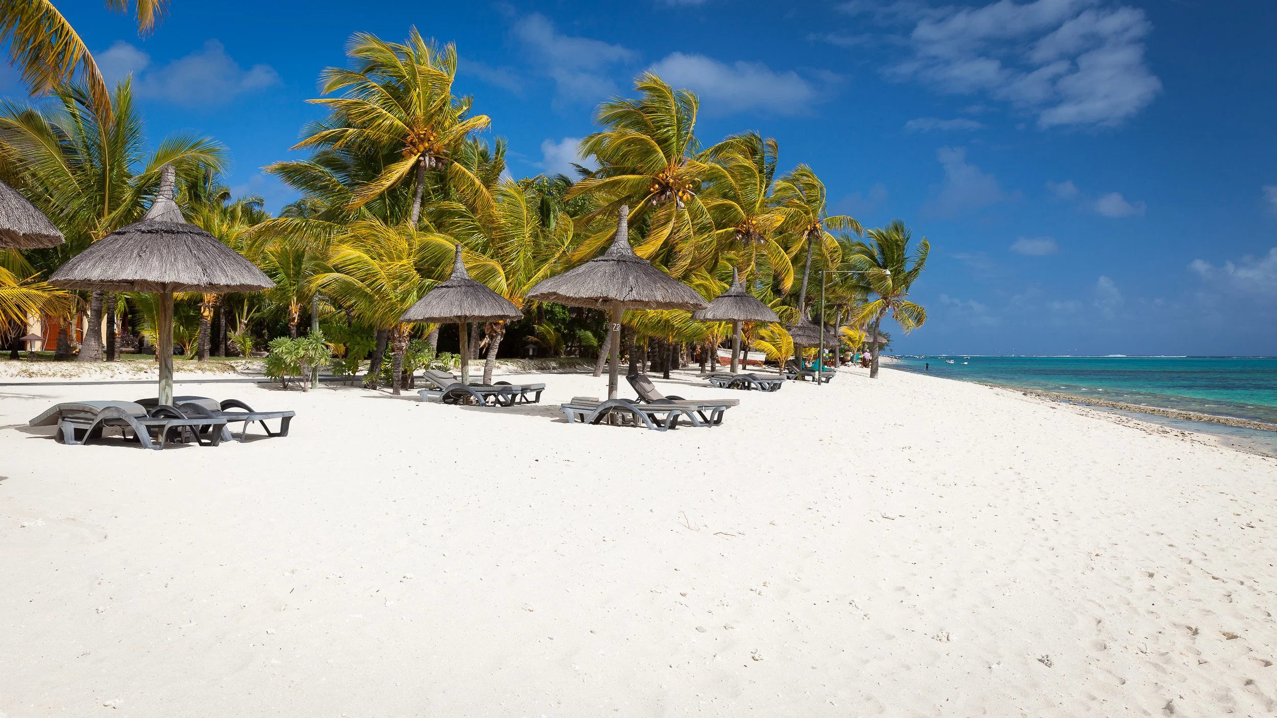
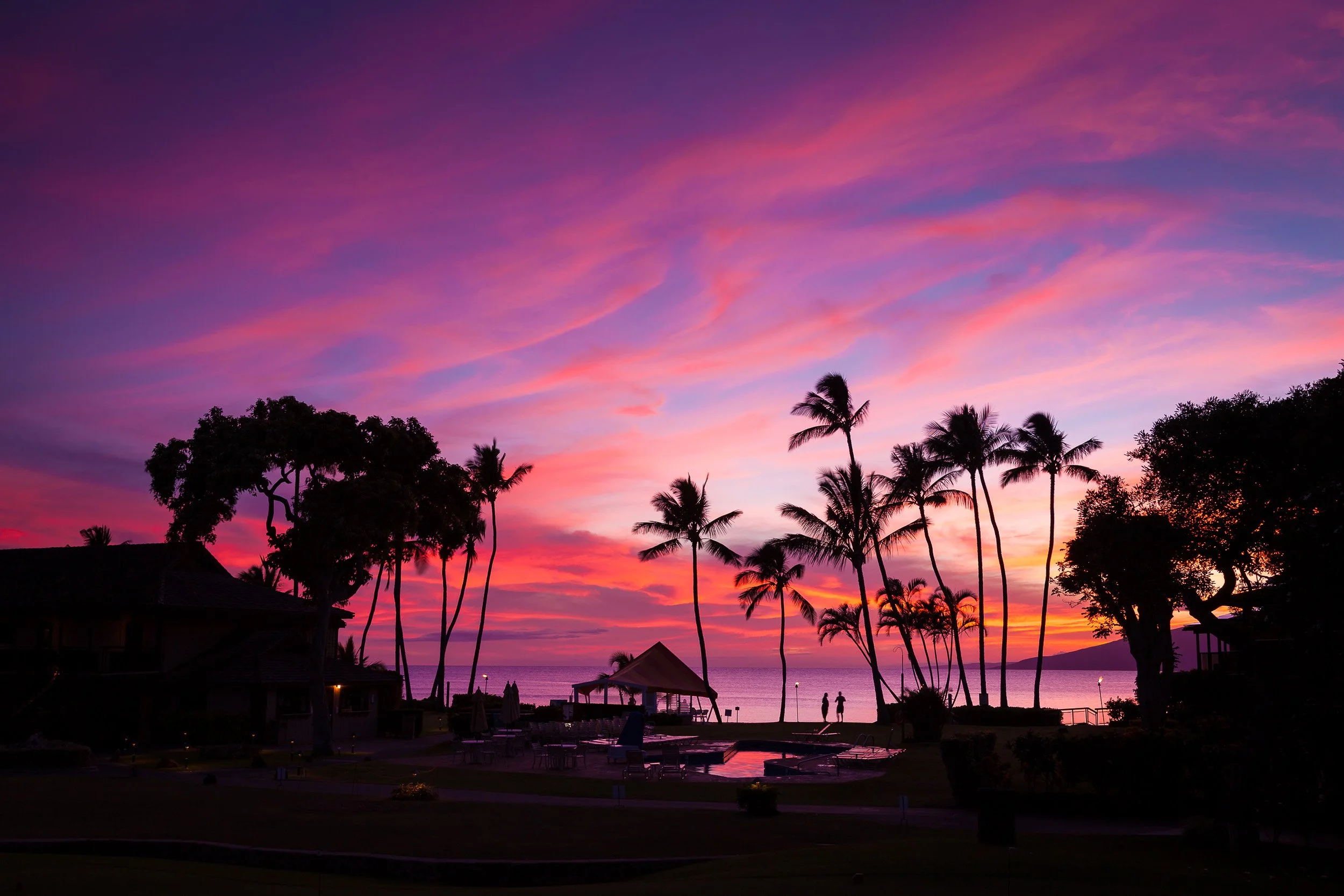
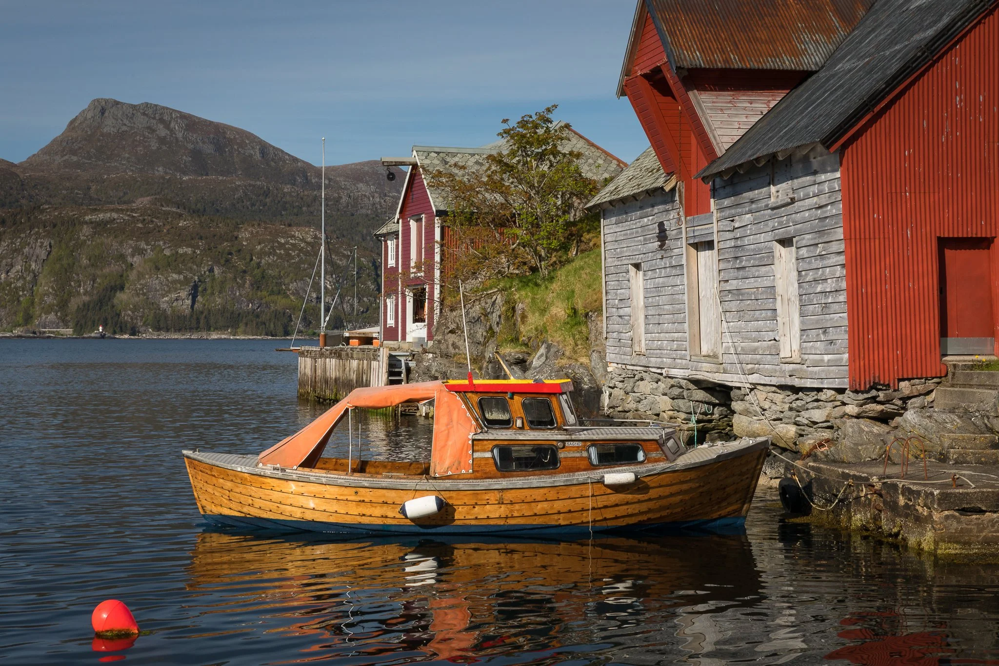
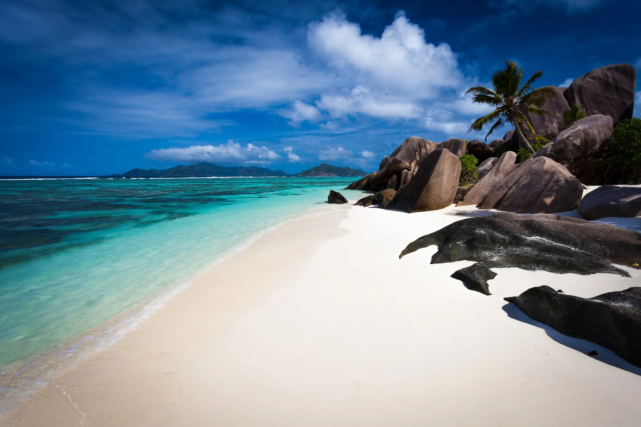
Home
toggle slideshow

Nevada - Utah - Arizona, USA

Las Vegas - Grand Canyon - Death Valley - Bryce Canyon - Antelope Canyon

Zion Park - Route 66 - Valley of Fire State Park

 Other Photo albums

    Las Vegas is the largest city in the state of Nevada and claiming to be the Entertainment Capital of the World, it is situated in the midst of the southern Nevada desert landscape. Las Vegas has giant mega-casino hotels, decorated with lavish care and attention to detail to create a fantasy-like atmosphere. The casinos often have names and themes that evoke romance, mystery, and far-away destinations.Compared with other cities in the West, Las Vegas is a relatively recent arrival. It was founded in 1905, and for many years it was merely a small settlement in the middle of the desert

    Grand Canyon National Park is one of the world’s premier natural attractions, attracting about five million visitors per year. Longstanding scientific consensus has been that the canyon was created by the Colorado River over a six million year period. The canyon is 446 km long, ranges in width from 6.4 to 29 km and attains a depth of over a mile (1.83 km). Nearly two billion years of the Earth's history have been exposed as the Colorado River and its tributaries cut their channels through layer after layer of rock while the Colorado Plateau was uplifted.


Grand Canyon

The Grand Canyon is a steep-sided gorge carved by the Colorado River in Arizona. Grand Canyon is known for its overwhelming size and its intricate and colorful landscape.

Las Vegas

Las Vegas is the largest city in the state of Nevada, nicknamed Sin City and claiming to be the Entertainment Capital of the World. It is situated in the midst of the southern Nevada desert landscape.

Horseshoe Bend

Horseshoe Bend is the name for a horseshoe-shaped meander of the Colorado River, Arizona.

Antelope Canyon

Antelope Canyon was formed by erosion of Navajo Sandstone, primarily due to flash flooding and secondarily due to other sub-aerial processes.

Route 66

U.S. Route 66 (also known as the "Main Street of America" or the "Mother Road") was a highway in the U.S. Highway System.

Las Vegas - from the air

Las Vegas has giant mega-casino hotels, decorated with lavish care and attention to detail to create a fantasy-like atmosphere. The casinos often have names and themes that evoke romance, mystery, and far-away destinations. Compared with other cities in the West, Las Vegas is a relatively recent arrival. It was founded in 1905, and for many years it was merely a small settlement in the middle of the desert. However, several pivotal events would come together in less than twenty years to make Las Vegas what it is today.

The Las Vegas Strip

The Las Vegas Strip (also known as The Strip) is an approximately 6.4 km section of Las Vegas Boulevard. Many of the largest hotel, casino and resort properties in the world are located on The Strip. Eighteen of the world's twenty five largest hotels by room count are on the Strip, with a total of over 67,000 rooms.

Las Vegas

New York - Las Vegas

This hotel's re-creation of the Manhattan skyline sominates the Topicana Avenue corner on the strip. It is fonted by a 46 meter replica of the Statue of Liberty. Every interior detail of the hotel is designet to refelct a part of New York City.

Excalibur - Las Vegas

The Excalibur is a familyfriendly theme park resort with a casino.

Bellagio - Las Vegas

This $1.6 billion luxury resort opened in 1998. Its design is based on the norhern Italian town Bellagio.

Venetian - Las Vegas

This astounding pice of architecture re-creates the city of Venice and contains more than 4000 suites.

Venetian - Las Vegas

TI - Las Vegas

The pirate-themed world of Treasure Island lures passersby to the spectacular Sirens of TI show, held each evening on the hotel.

Bellagio - Las Vegas

The Fountains of the Bellagio perform a magnificent display (set to music) every 15-minutes in the evenings and also every hour on Saturday and Sunday afternoons. Inside of the casino there is a tremendous flower garden, with displays changed every month or two. The casino also offers a fine-art gallery. Bellagio is also home to one of the finest buffets on "The Strip".

MSM Grand Hotel Las Vegas

The famous statue of Leo, symbol of the Hollywood film studio, MSG, rises 15m above the corner of Tropicana Avenue.

Caesars Palace - Las Vegas

The Trevi Fountain inside the hotel.

Caesars Palace - Las Vegas

One of the Strip's oldest and most glamorous hotels built in 1966.

Antelope Canyon, Arizona

Antelope Canyon was formed by erosion of Navajo Sandstone, primarily due to flash flooding and secondarily due to other sub-aerial processes. Rainwater, especially during monsoon season, runs into the extensive basin above the slot canyon sections, picking up speed and sand as it rushes into the narrow passageways.

Antelope Canyon, Arizona

Over time the passageways are eroded away, making the corridors deeper and smoothing hard edges in such a way as to form characteristic 'flowing' shapes in the rock.

Antelope Canyon

Antelope Canyon, Arizona

Antelope Canyon, Arizona

Bryce Canyon National Park

Bryce Canyon National Park is a national park located in southwestern Utah. Despite its name, this is not actually a canyon, but rather a giant natural amphitheater created by erosion along the eastern side of the Paunsaugunt Plateau. Bryce is distinctive due to its geological structures, called hoodoos, formed from wind, water, and ice erosion of the river and lakebed sedimentary rocks.

Bryce Canyon National Park

The red, orange and white colours of the rocks provide spectacular views to visitors. Bryce is at a much higher elevation than nearby Zion National Park and the Grand Canyon. The rim at Bryce varies from 8,000 to 9,000 feet (2,400 to 2,700 m), whereas the south rim of the Grand Canyon sits at 7,000 feet (2,100 m) above sea level.

Bryce Canyon National Park

The area around Bryce Canyon became a U.S. National Monument in 1923 and was designated as a national park the next year. The park covers 56 square miles (145 km2) and receives relatively few visitors compared to Zion Canyon and the Grand Canyon, largely due to its remote location.

Bryce Canyon National Park

Bryce Canyon National Park

Natural Bridge.

Bryce Canyon National Park

Thor's Hammer.

Bryce Canyon National Park

Thor's Hammer an Navajo Loop trail.

Bryce Canyon National Park

Great view from sunrise point.

Bryce Canyon National Park

Queens Garden

Bryce Canyon National Park

Queens Garden

Bryce Canyon National Park

Queens Garden

Bryce Canyon National Park

Bryce Canyon National Park

Sunrise in Bryce Canyon

Sunset in Bryce Canyon

Dessert View Watchtower

Desert View Watchtower is a 70-foot (21 m) high stone building located on the South Rim of the Grand Canyon within Grand Canyon National Park in Arizona. The four-story structure, completed in 1932, was designed by American architect Mary Colter. The bottom floor of the tower now contains a gift shop while the upper floors serve as an observation deck from which visitors to the national park can view eastern portions of the Grand Canyon.

Grand Canyon

Grand Canyon National Park is one of the world’s premier natural attractions, attracting about five million visitors per year. Longstanding scientific consensus has been that the canyon was created by the Colorado River over a six million year period. The canyon is 277 miles (446 km) long, ranges in width from 4 to 18 miles (6.4 to 29 km) and attains a depth of over a mile (1.83 km).

Grand Canyon

Nearly two billion years of the Earth's history have been exposed as the Colorado River and its tributaries cut their channels through layer after layer of rock while the Colorado Plateau was uplifted.

Grand Canyon

About 600 deaths have occurred in the Grand Canyon since the 1870s. Some of these deaths occurred as the result of overly zealous photographic endeavors, some were the result of airplane collisions within the canyon, and some visitors drowned in the Colorado River. Many hikers overestimate their fitness level, become dehydrated and confused, and must be rescued

Sunset in Grand Canyon

The Park Service now posts a picture of an attractive and fit young man at several trailheads with the caption "Every year we rescue hundreds of people from the Canyon. Most of them look like him", in an attempt to discourage hikers from feats which are beyond their abilitie.

Horseshoe Bend

Horseshoe Bend

Horseshoe Bend is the name for a horseshoe-shaped meander of the Colorado River located near the town of Page, Arizona, in the United States. It is located slightly downstream from the Glen Canyon Dam and Lake Powell. Accessible via a 1.2 km hike from U.S. Route 89, it can be viewed from the steep cliff above, forming a spectacular vista.

Valley of Fire State Park - Nevada

Valley of Fire State Park is Nevada's oldest State Park. Valley of Fire is located 50 miles (80 km) northeast of Las Vegas at an elevation of between 2,000 and 2,600 feet (610 and 790 m). The rough floor and jagged walls of the park contain brilliant formations of eroded sandstone and sand dunes more than 150 million years old. These features, which are the centerpiece of the park's attractions, often appear to be on fire when reflecting the sun's rays.

Zion National Park - Utah

Zion National Park is a national park located in Utah. A prominent feature of the 229-square-mile (593 km2) park is Zion Canyon, 15 miles (24 km) long and up to half a mile (800 m) deep, cut through the reddish and tan-colored Navajo Sandstone by the North Fork of the Virgin River.

Zion National Park - Utah

Located at the junction of the Colorado Plateau, Great Basin, and Mojave Desert regions, the park's unique geography and variety of life zones allow for unusual plant and animal diversity.

Lake Powel

Lake Powell is a man-made reservoir on the Colorado River, straddling the border between Utah and Arizona. It is the second largest man-made reservoir in the United States.

Lake Powel

Lake Powell was created by the flooding of Glen Canyon by the controversial Glen Canyon Dam, which also led to the creation of Glen Canyon National Recreation Area, a popular summer destination.

Lake Powel

Lake Powel

Glen Canyon Dam bridge

Completed in 1964, Glen Canyon Dam bridge is 1,560 ft (475.5 m)long and 700 feet (213 m) above the Colorado River.It is the 4th highest bridge in the United States. Before it and the downstream Navajo Bridge were built, it was a 192-mile (309 km) drive to the other side of the canyon.

Glen Canyon Dam

Glen Canyon Dam is a dam on the Colorado River at Page, Arizona. The purpose of the dam is to provide water storage for the arid southwestern United States, and to generate electricity for the region's growing population.

Cameron - Arizona

U.S. Route 89 crossing bridge next to the Cameron trading post.

Route 66 - Seligman

U.S. Route 66 (also known as the "Main Street of America" or the "Mother Road") was a highway in the U.S. Highway System. One of the original U.S. highways, Route 66, US Highway 66, was established on November 11, 1926. The famous highway originally ran from Chicago, Illinois, through Missouri, Kansas, Oklahoma, Texas, New Mexico, Arizona, and California, before ending at Los Angeles, encompassing a total of 2,448 miles (3,940 km).

Route 66 - Seligman

Route 66 was a major path of the migrants who went west, especially during the Dust Bowl of the 1930s, and supported the economies of the communities through which the road passed. People doing business along the route became prosperous due to the growing popularity of the highway, and those same people later fought to keep the highway alive even with the growing threat of being bypassed by the new Interstate Highway System.

Route 66 - Seligman

US 66 was officially removed from the United States Highway System on June 27, 1985 after it was decided the route was no longer relevant and had been replaced by the Interstate Highway System. Portions of the road that passed through Illinois, Missouri, New Mexico, and Arizona have been designated a National Scenic Byway of the name "Historic Route 66".

Route 66 - Seligman

Many preservation groups have also tried to save and even tried to landmark the old motels and neon signs along the road in different states. In 2008, The World Monuments Fund added Route 66 to its World Monuments Watch list of 100 Most Endangered Sites. Sites along the route, such as gas stations, motels, cafes, trading posts, and drive-in movie theaters are threatened by development in urban areas, and by abandonment and decay in rural areas.

Route 66 - Hackberry

As the popularity and mythical stature of Route 66 has continued to grow, demands have begun to mount to improve signage, return Route 66 to road atlases and revive its status as a continuous routing. Along these lines Route 66 has been established as a National Scenic Byway in Illinois, Arizona and New Mexico with National Scenic Byway status pending in Oklahoma and Missouri as of 2007. Another move is also afoot that aims to reinstate Route 66 as an official U.S. Route.

Route 66 - Hackberry

Route 66 - Hackberry

Route 66 - Hackberry

Kingman in Arizona

Hoover Dam

Hoover Dam is a concrete arch-gravity dam in the Black Canyon of the Colorado River, on the border between the U.S. states of Arizona and Nevada. When completed in 1935, it was both the world's largest electric-power generating station and the world's largest concrete structure. This dam is named after Herbert Hoover, who played an instrumental role in its construction. Construction began in 1931 and was completed in 1935, more than two years ahead of schedule.

Hoover Dam

Statistics: Height: 221m, Length: 379m, Dam thickness: 200 m at its base, 15 m thick at its crest. Concrete: 3.33 million m³, 8 to 10 million visitors each year. There were 112 deaths associated with the construction of the dam.

Death Valley

Death Valley is one of the hottest places in the world. Air temperatures over 120 °F (49 °C) are common during the summer months of June, July, August and September. The record high in the park was recorded in 1913 at a blazing 134 °F (57 °C). This is second only to a 136 °F (58 °C) temperature taken in Libya in 1922. Since it is often up to four degrees hotter near Badwater than it is near Furnace Creek where the official record was recorded, it is entirely likely that Death Valley should hold the title as the hottest place on Earth.

Death Valley

Sun-baked sand in Death Valley Very little rain falls in the valley, but rainfall in the mountains often sends floodwaters roaring down narrow canyons, scouring boulders, rocks and soil along the way and eventually depositing them in the valley. These deposits are evident in the form of gigantic.

Death Valley

Death Valley

Death Valley

Death Valley

This picture was taken the 19th of May 08 at 13:30. The thermometer shows 49,7 °C!

Badwater - Death Valley

Badwater is a basin in Death Valley, noted as the lowest point in North America, with an elevation of 282 feet (86.0 m) below sea level. The site itself consists of a small spring-fed pool of water next to the road; however, the accumulated salts of the surrounding basin make it undrinkable, thus the name "Badwater".

Furnace Creek - Death Valley

At Furnace Creek is the headquarters of Death Valley National Park, as well as two of its major tourist facilities, the Furnace Creek Inn and Ranch Resort. The springs here are one of the few freshwater sources in the sesert. They are thought to have saved the lives of hundres of gold prospectors crossing the dessert on their way to Sierra foothills.

Devil's Golf Course

The world's lowest golf course can also be found here, lying 65m below sea leve. The ground is 95 percent pure salt.

Death Valley

Calico ghost town

Calico is a ghost town located in the Mojave Desert region of Southern California. Founded in 1881 as a silver mining town, today it is a county park. At its height, Calico boasted a population of 1,200 people, and over 500 silver mines. Now however, the town is populated by no more than 12 people, while the mines are inactive. Besides the usual assortment of bars, brothels, gambling halls and a few churches, Calico also supported a newspaper, the Calico Print.

Calico ghost town

During the mid 1890s the price of silver dropped and Calico's silver mines were no longer economically viable. With the end of borax mining in the region in 1907 the town became completely abandoned. In 1951, Walter Knott, founder of Knott's Berry Farm, purchased the town and began restoring it to its original condition referencing old photographs. Though five of the original town buildings exist today, many others were recreated as replicas of their originals on preexisting foundations.

Calico ghost town

Today, the park operates mine tours, gunfight stunt shows, gold panning, a restaurant, the Calico & Odessa Railroad and a number of general merchandise stores. It is open daily, and requires an entrance fee. During the tours, one may see silver ore so rich that there are gray spots of silver in the rock. Some believe that Calico is haunted by the spirits of miners.Calico is a registered California historic monument, and is one of a number of ghost towns in California.

Calico ghost town

Calico ghost town

Baker

Worlds largest thermometer

© Copyright on all photos.


 Other Photo albums